Korea district in Chhattisgarh, once part of the princely state under British India, is blessed with several rivers that enrich its physiography, sustain agriculture, and nurture biodiversity. These rivers not only shape the landscape but also play a vital role in the socio-economic life of the people. Five major rivers flow through the district, each with its own unique course, tributaries, and significance.
Kanhar River
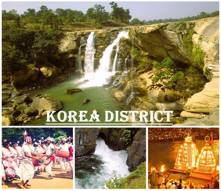
The Kanhar River originates from Gidha-Dhodha on the Khudia plateau in Jashpur tahsil of Raigarh district. Flowing northward, it forms the eastern boundary of Korea district with Palamau district of Bihar. Stretching for about 100 km within Korea, the Kanhar is fed by tributaries such as Suria, Chana, Sendur, and Kursa on the left bank, and Galphulla, Semarkhar, Riger, and Cherna nallah on the right. Along its course, several waterfalls add scenic beauty, including the Pavai fall near Kothali village, which drops 61 meters. The river has long been considered for hydroelectric projects due to its potential energy resources.
Rihand River
The Rihand River, also known as Rend or Rehar, rises from the Matiranga hills southwest of the Mainpat plateau at an elevation of about 1,100 meters. Flowing northward for 160 km through the central part of the district, it creates fertile plains around Ambikapur, Lakhanpur, and Pratappur. Its principal tributaries include the Mahan, Morana (Morni), Geur, Gagar, Gobri, Piparkachar, Ramdia, and Galphulla. The Mahan River, a perennial tributary, is the focus of multipurpose irrigation projects under the Central Water Commission. Additionally, the Ghungutta River near Darima Air Strip has been harnessed for irrigation since 1981 with World Bank assistance.
Hasdeo River
The Hasdeo River is the largest river in Korea district, rising from the Sonhat Plateau (23°30′N, 82°30′E). Its course resembles an upturned “S” as it flows southward for about 95 km before entering Bilaspur district. With a total length of 245 km, the Hasdeo is nourished by tributaries such as Gej and Chornai on the left bank, and Tan and Ahiran on the right. Settlements like Sonhat, Ghugra, Manendragarh, Kosgain, and Korba lie along its valley. Eventually, the Hasdeo joins the mighty Mahanadi, making it a crucial river for agriculture and settlement in the region.
Gej River
The Gej River originates from the hills west of the central plateau. Flowing past Baikunthpur, it receives tributaries like Jhink and Atem from the left. The Gej drains into the Mahanadi through the Hasdeo, contributing to the district’s irrigation and water supply. Rising from the northeastern slopes of Mainpat, the Mand River also flows through the southeastern part of Korea before entering Raigarh and Bilaspur districts, eventually joining the Mahanadi.
Gopad River
The Gopad River rises from the northern slopes of the Sonhat Plateau (23°32′N, 82°31′E) in Surguja. Flowing north and west in stages, it traverses Sidhi district, meandering along the boundary of Bharatpur tehsil. Joined by tributaries such as Goini, Neur, Sehra, Kandas, and Mohan, the Gopad eventually meets the Son River near Bardi. Its course supports agriculture and settlements along its fertile banks.
Conclusion
The Rivers of Korea District Kanhar, Rihand, Hasdeo, Gej, and Gopad—are more than geographical features; they are lifelines that sustain agriculture, provide water resources, and enrich the cultural fabric of the region. With their tributaries, waterfalls, and fertile valleys, these rivers shape the district’s identity and contribute to its ecological and economic prosperity.